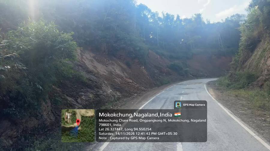
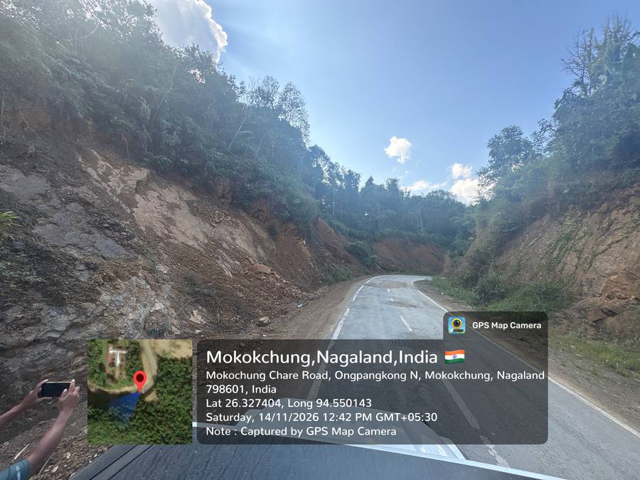
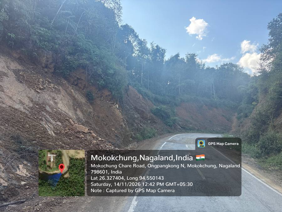
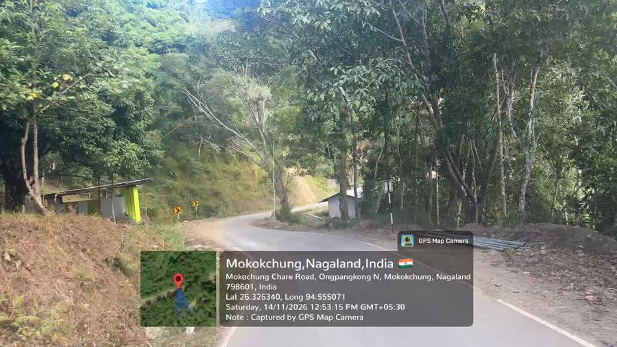
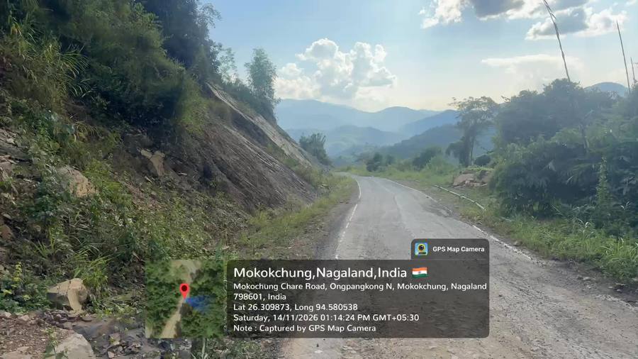
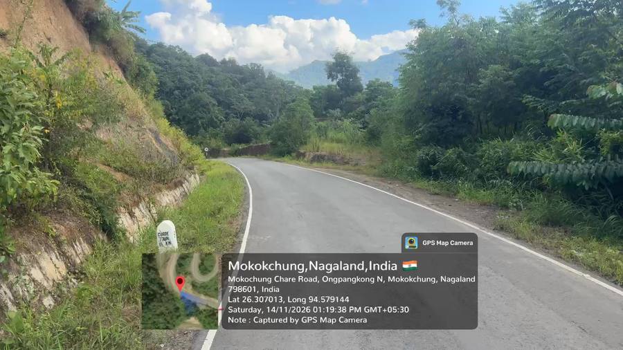
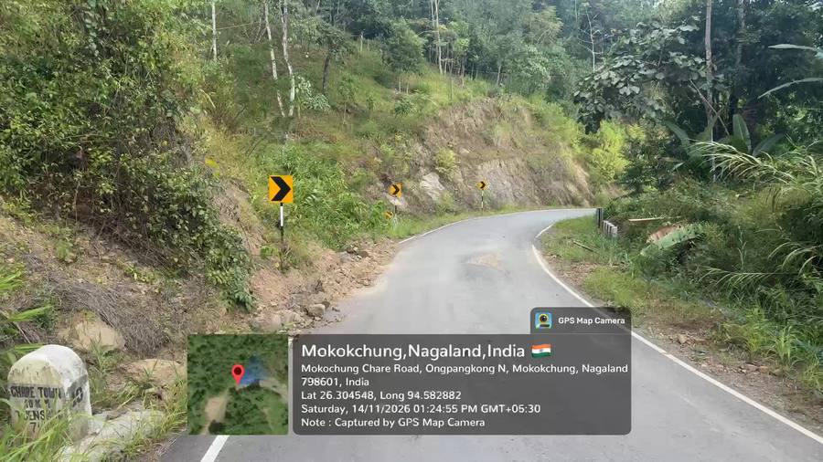
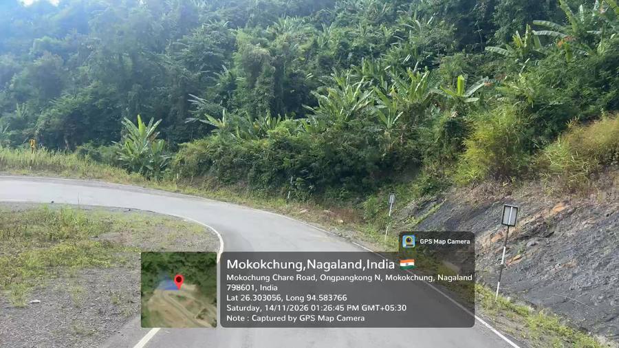
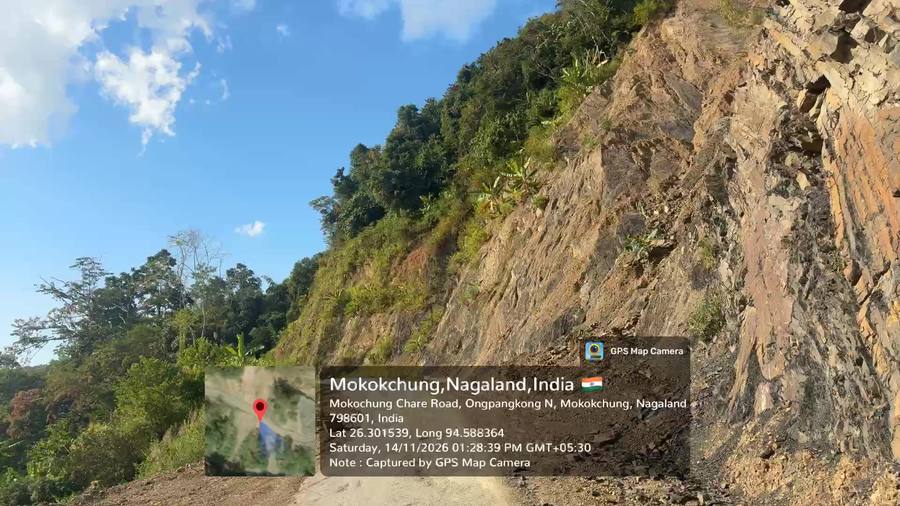
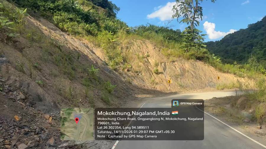
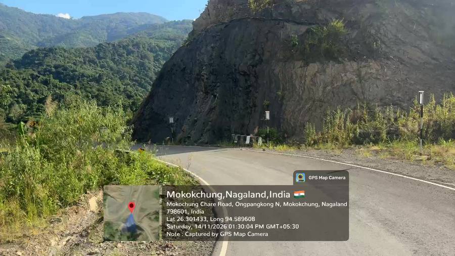
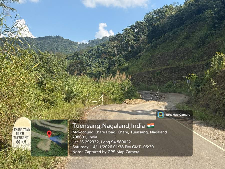
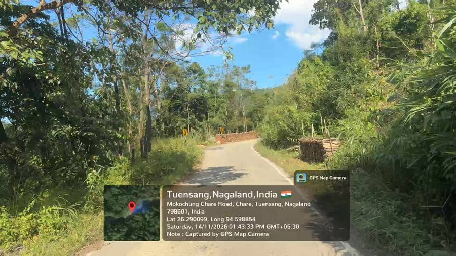
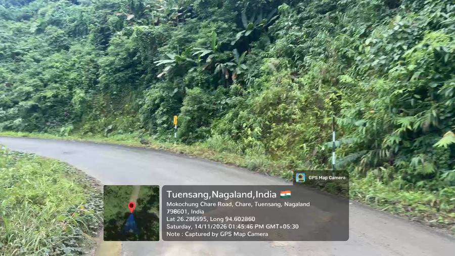
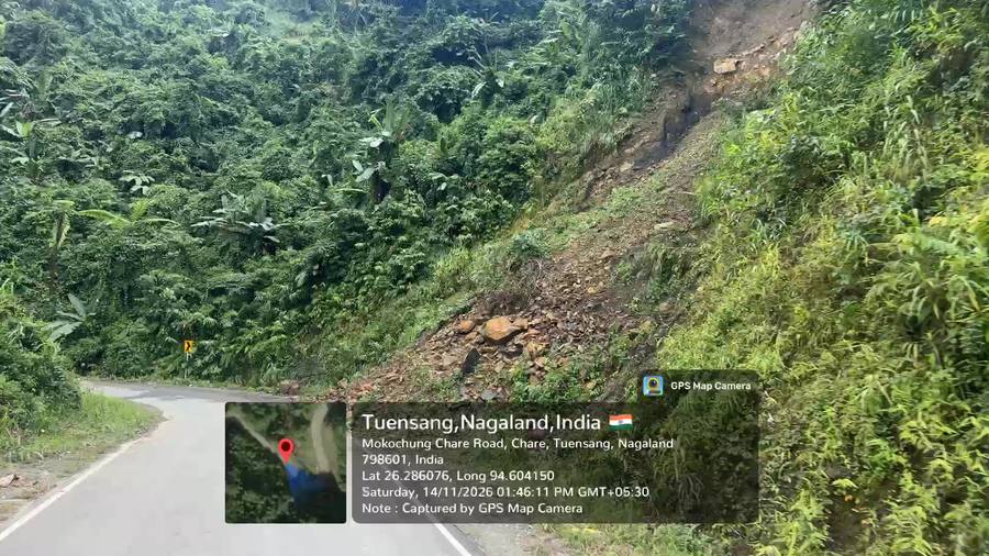
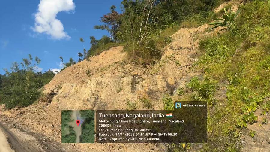
| 1+400 | Landslide | Hill (L) |
Continuous slide location reported at start of hill-cut reach. |
Breast wall / slope dressing with catch drain |
Before widening | Corroborated |
| 2+130 | Landslide + sinking | Hill (L) |
Left-side slide location; sinking referred to in same breath. |
Breast wall; verify pavement settlement |
Before widening | Review |
| 3+000 – 3+400 | Landslide | Both |
Slide locations through 3+000–3+400; RE instructed team to take measurements and prepare proposal. |
Measure extents; slope protection proposal |
Before widening | Review |
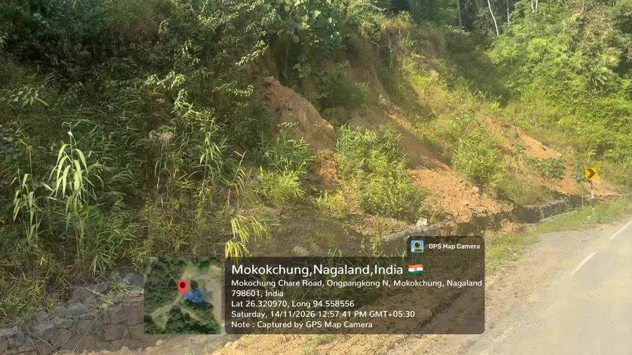
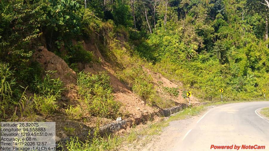
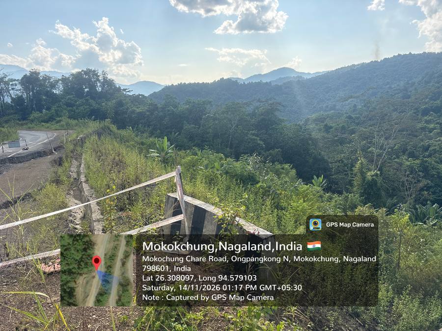
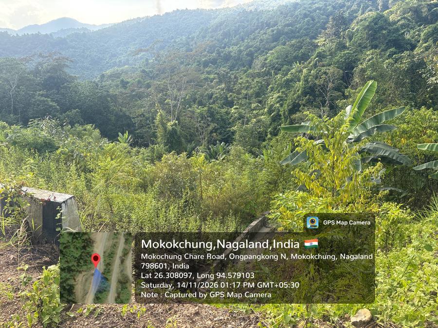
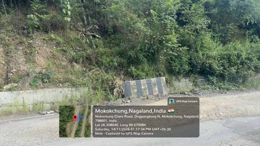
| 4+150 – 4+280 | Landslide + seepage | Hill (L) |
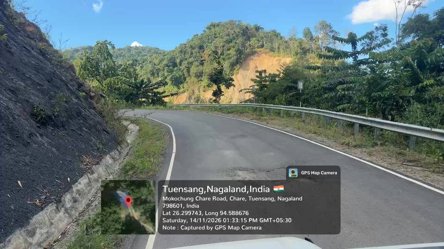
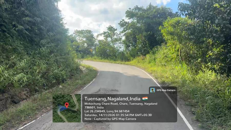
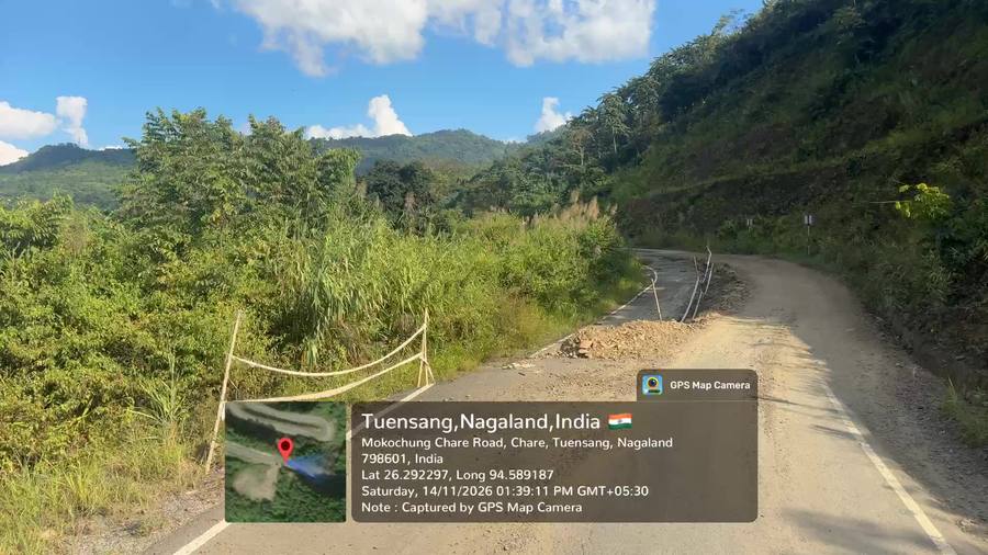
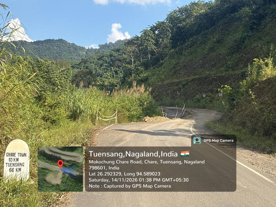
Slide location with water seepage; water reported passing from inside/under the road. NoteCam photo at field C… |
Catch-water drain above slope; sub-surface drainage; reinstate breast wall |
Immediate | Corroborated |
| 8+050 | Landslide | Hill (L) |
Slide location reported at approx 8+050. |
Breast wall / slope protection |
Before widening | Review |
| 8+400 | Landslide EE-flagged | Hill (L) |
Landslide location with breast wall already constructed. |
Raise/extend breast wall; catch drain |
Before widening | Review |
| 8+490 – 8+850 | SINKING ZONE EE-flagged | Valley (R) |
Sinking zone on valley side; road passes above the slipped mass; hairpin bend within the reach; nala/river cro… |
Valley-side retaining/toe protection, nala training; NOT widenable by hill cutting |
Immediate | Corroborated |
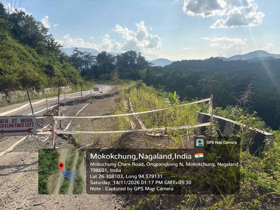
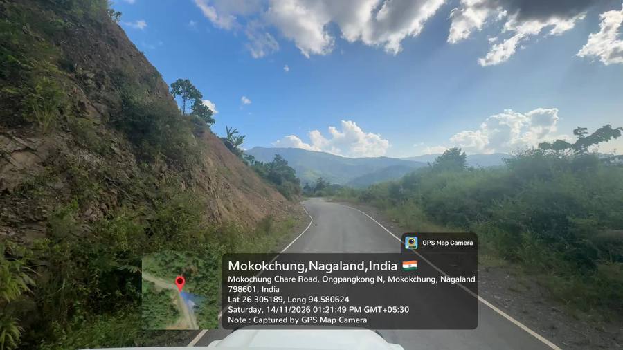
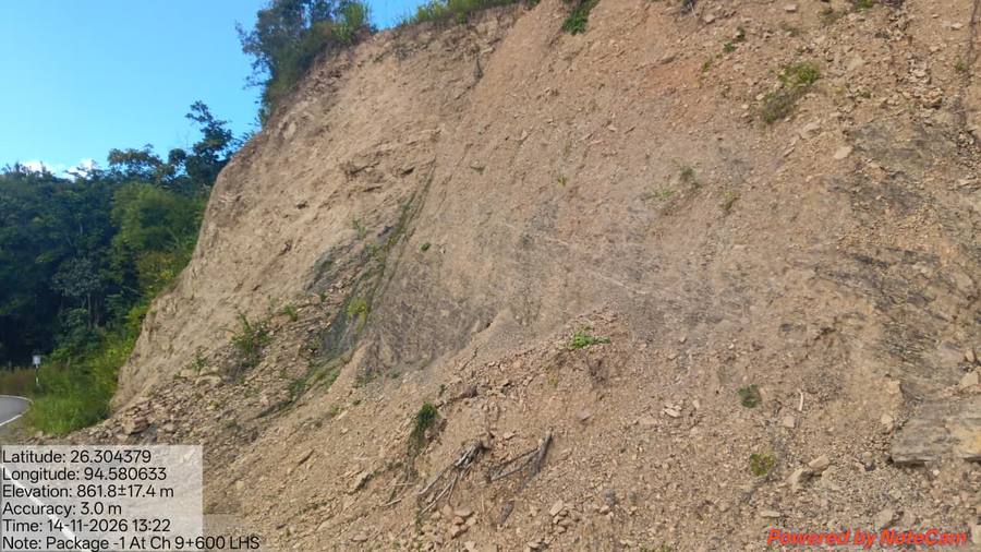
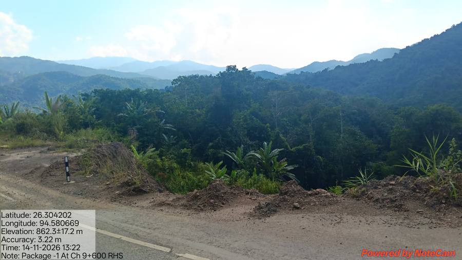
| 9+600 – 9+700 | SINKING + landslide | Both |
Sinking problem with left-side slide location; right side also affected. Two NoteCam photos taken at field Ch … |
Breast wall on hill side; valley-side retaining; drainage |
Immediate | Corroborated |
| 9+980 – 10+300 | Landslide | Hill (L) |
Slide location reported through the 10+000 reach. |
Slope protection |
Before widening | Review |
| 10+300 – 10+800 | SINKING ZONE EE-flagged | Valley (R) |
Sinking problem in loose-soil reach. |
Ground improvement + valley-side retaining; sub-surface drains |
Immediate | Corroborated |
| 11+400 – 11+500 | Landslide | Hill (L) |
Landslide measures required; frequent/repeated landsliding reported near 11+500. |
Slope stabilisation; catch drain |
Immediate | Corroborated |
| 11+700 | Landslide | Hill (L) |
Slide location at approx 11+700. |
Breast wall |
Before widening | Corroborated |
| 12+000 – 12+200 | SETTLEMENT | Valley (L) |
Settlement of carriageway on valley/river side through 12+000–12+200. |
Valley-side retaining wall + toe protection |
Immediate | Corroborated |
| 12+380 – 12+485 | SETTLEMENT | Valley |
Distress reach of approx 45 m length noted up to Ch 12+485; newly constructed work referred to in the same rea… |
Confirm extent; retaining structure |
Before widening | Review |
| 12+490 – 12+520 | WIDENING CONSTRAINT | Hill |
Hill face at this location is direct vertical; toe protection work present. |
Two-lane width to be gained on valley side by retaining structure |
Immediate | Corroborated |
| 13+000 – 13+200 | Landslide | Valley (R) |
Valley side actively sliding at 13+000; further slide location around 13+200. |
Valley-side retaining / toe protection |
Immediate | Corroborated |
| 13+300 – 13+600 | CRITICAL — slide + SINKING EE-flagged | Both |
Described as a critical location: left-side slide location, with sinking zone on the right toward 13+600. |
Detailed investigation before widening; combined hill and valley treatment |
Immediate | Corroborated |
| 14+200 | Distress | Left |
Distress reported on left-hand side at approx 14+200. |
Confirm on site |
Monitor / confirm | Review |
| 14+600 – 15+050 | SINKING ZONE | — |
Major sinking issue around 15+000–15+050, described as connected to the reach from 14+600. Two site photograph… |
Investigation; ground improvement + retaining |
Immediate | Corroborated |
| 16+400 – 16+600 | Damage / distress | — |
Damage discussed through 16+400–16+600; RE directed photographs and measurement of extent. |
Measure extent |
Monitor / confirm | Review |
| 17+100 | Landslide | Hill (R) |
Landslide location on right-hand side at approx 17+100. |
Breast wall / slope protection |
Before widening | Corroborated |
| 17+250 | Landslide | Hill (R) |
Landslide on right side at approx 17+250. |
Breast wall |
Before widening | Corroborated |
| 17+800 | Landslide | — |
Landslide location reported; spoken chainage ambiguous (heard as '18+800' at GPS 17+482) — to be confirmed. |
Confirm chainage on site |
Monitor / confirm | Low |
| 18+200 – 18+300 | Landslide | — |
Landslide location between 18+200 and 18+300. |
Slope protection |
Before widening | Corroborated |
| 19+400 – 19+500 | CRITICAL — major slide | Left |
Critical left-side slide location; road passes above the slipped mass; water flowing alongside. Described as s… |
Detailed investigation; drainage interception + retaining before widening |
Immediate | Corroborated |
| 20+100 | Landslide | — |
Slide location at approx 20+100, near project end. |
Slope protection |
Before widening | Review |